Night Bazaar & Riverside · Chang Klan, city
Chiang Mai Land Details to come
On our list of estates to profile. We have its location and road distances to the schools; facilities, rents and house sizes are still to be researched.
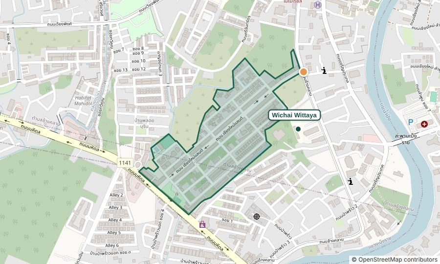
The estate
- Location
- From OpenStreetMap (approximate)
- Developer
- Not yet researched
- Completed
- Not yet researched
- Size
- Not yet researched
- House sizes
- Not yet researched
- Asking rent
- Not yet researched
Facilities
- ?Communal pool unknown
- ?Gym unknown
- ?Clubhouse unknown
- ?24-hour guards unknown
- ?CCTV unknown
- ?Keycard gate unknown
- ?Pets unknown
✓ Yes, listed by the source · ◐ Partly · ? Unknown: the source doesn’t say either way
Schools from the main gate
| School | By road | Off-peak |
|---|---|---|
| Wichai Wittaya School | 0.3 km | 1 min |
| Regina Coeli College | 1.3 km | 3 min |
| Windfield International School Chiang Mai | 3.8 km | 5 min |
| Varee Chiangmai School | 4.1 km | 7 min |
| Prince Royal's College | 4.2 km | 7 min |
| Chiang Mai International School | 4.5 km | 6 min |
| SISB Chiang Mai (Singapore International School) | 5.2 km | 10 min |
| Dara Academy | 5.5 km | 10 min |
Measured from the main gate (approximate, from OpenStreetMap). Drive times are off-peak estimates.
Practical points for this estate
- Gate opens onto
- Not yet checked.
- Flooding
- Not yet checked.
- Water
- Not yet checked.
Haze, traffic and internet are much the same across an area; see the area notes.
Sources, read 2026-11-13: Name from the editor’s moo baan list (13 Nov 2026) · Location: OpenStreetMap. Rents are agents’ asking prices, not achieved rents.